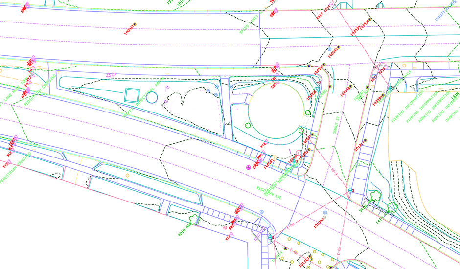
Four miles of highway and City streets in Ypsilanti are slated for reconstruction by the Michigan Department of Transportation (MDOT) including ADA ramp and drainage improvements. Wade Trim performed a full design survey of Huron Street, Hamilton Street, US-12 B.L. (Michigan Avenue), Cross Street and M-17 (Washtenaw Avenue) in preparation for MDOT’s design.
Primary and intermediate control irons were set and GPS static observations used to establish Michigan State Plane Coordinates (NAD83 South Zone) as the control network. NAVD88 elevations on benchmarks, control points and scan targets were established with a digital level loop. RTK GPS and total station observations were used to locate and tie in property irons and all supplemental mapping needed outside the hard surface roadways. Our subconsultant, Surveying Solutions, Inc., performed mobile laser scanning of hard surface pavement areas, a safety benefit that minimized surveyor time spent in traveled lanes.
Mapping, drainage structures and feature line work obtained from all sources was then edited and merged into the final Power Geopak drawing and DTM. Alignment and right-of-way analysis were performed to determine as-constructed alignments. Subdivision plats, monumentation and other physical evidence was used to determine property lines and right-of-way locations along the project streets. Final drawings, reports and data files were provided to MDOT in a digital portfolio.