Reality Capture

REALITY CAPTURE

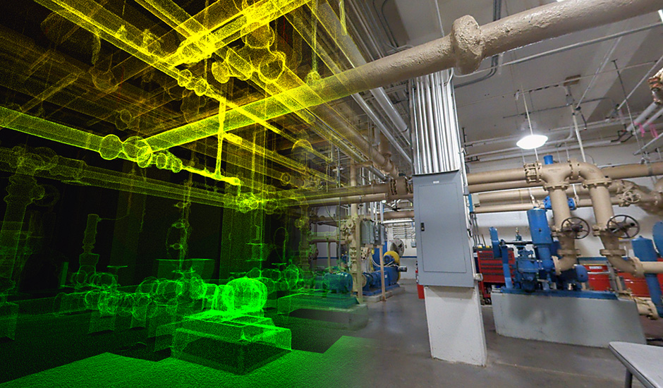
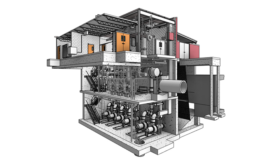
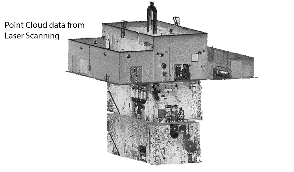
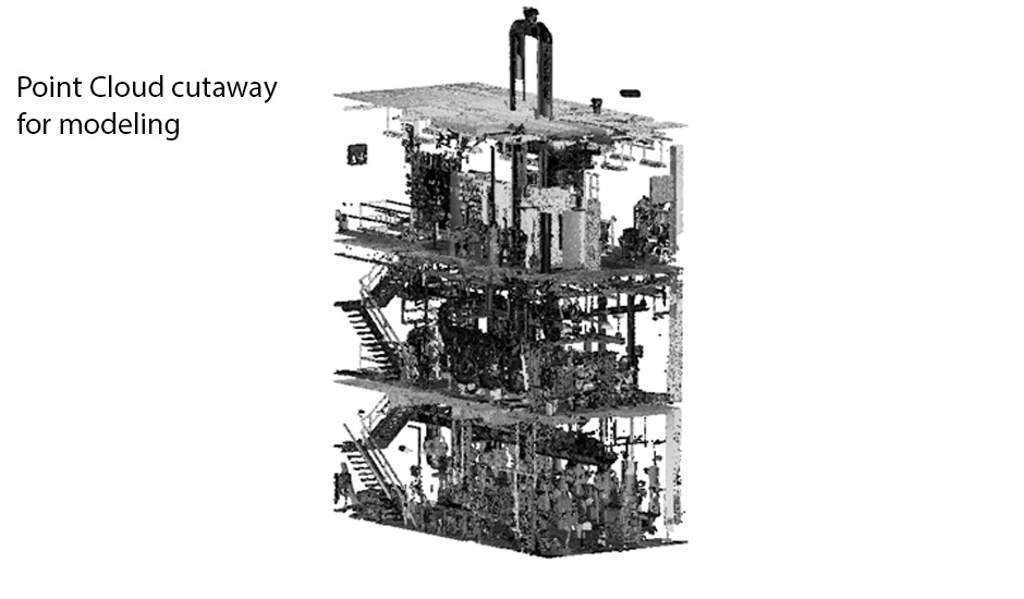
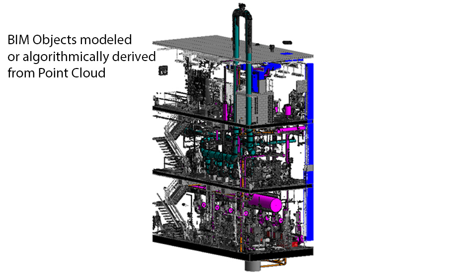
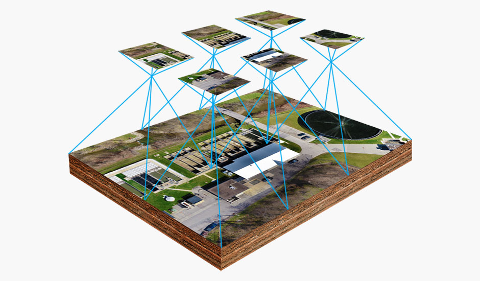
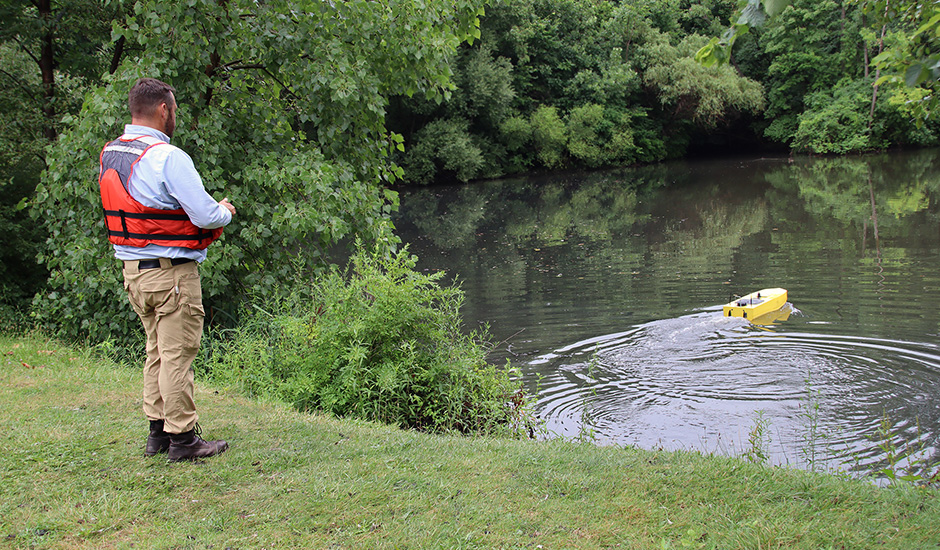
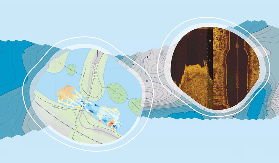
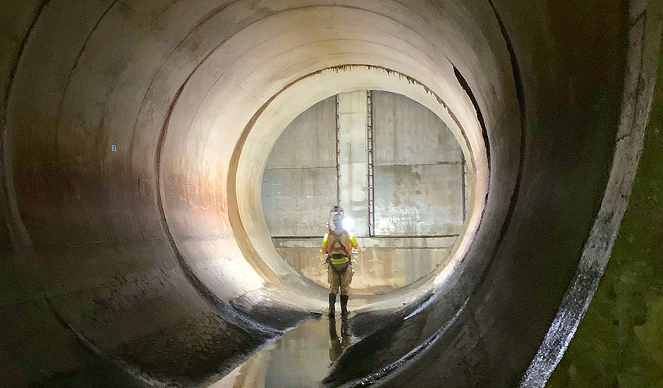
Digital data that accurately represents real world conditions is an exceptional foundation for any site development, infrastructure, or facility project. Wade Trim uses a variety of technologies to quickly and cost-effectively capture images and point clouds for projects to portray a digital reality. Drone, mobile, and nautical capture equipment, as well as terrestrial laser scanning enables us to capture all data needed at the accuracy desired. Documentation, inspection, and virtual walkthroughs are produced with ease and full 3D models can be developed.

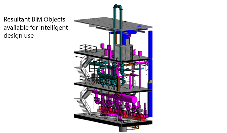
Reality capture puts intelligent data in the hands of any project stakeholder. A single dataset can be used by engineers, planners, contractors, and owners throughout the lifecycle of a project to better plan, design, construct, and manage assets.

Project Benefits

  • Quick and clear analysis of as-built conditions
  • Project understanding and communication enhanced with digital access to information that integrates with other tools
  • Creates shared data set to enhance collaboration from planning through construction
  • Data collection costs and delays are reduced, and safety improved
  • 2D/3D full-scale and positionally-correct design

Scan to BIM (Building Information Modeling)

Process used to capture point cloud data and turn it into a 3D as-built model or “digital twin”

Reality Capture Scan-to-BIM

Photogrammetry and Mapping

3D scanning that uses photographs and triangulation to create an accurate model of a site or structure for depiction and measurement

Reality Capture Photogrammetry

Topography

Existing terrestrial data is captured above ground including terrain, roads, bridges and built structures

Reality Capture Topography

Bathymetry and Subsurface

Data is captured from every elevation and angle, including underwater and inside structures

Reality Capture Bathymetry

Inspection

High resolution imagery that delivers safe, remote access to inspect exterior and interior conditions

Reality Capture Inspection

Virtual Tour

Virtual user experience for project visualization and remote management

Reality Capture Leads

Our reality capture team is comprised of innovators who combine their expertise in specialized field programs and workflows to deliver fully-immersive, navigable, engineering-ready data tailored to each client’s project needs. Contact us for more information on how reality capture can benefit your next project.

Brian Gombos
Brian Gombos, PE
Advanced Design Technology Lead

A structural engineer specializing in water resources projects, Brian uses reality capture tools to enhance his ability to design, inspect, assess existing conditions, and rehabilitate structures.

Email Brian
800.482.2864

    Neil Wakeman
    Neil Wakeman
    BIM/3D Technology Lead

    Neil’s information technology background, innovation skills, and experience in project/program management, product design, and continuous improvement enable him to deliver intelligent 3D design solutions for any client.

    Email Neil
    800.482.2864

      Jason Yoscovits
      Drone Fleet Lead

      A Senior Construction Inspector and Certified sUAS Pilot, Jason’s construction inspection and project management experience spans state and federal highway construction to heavy civil and industrial construction.

      Email Jason
      800.482.2864

        Scott Bliss
        Scott Bliss, PS
        Geospatial Lead

        Scott’s surveying expertise comprises large-scale construction sites, topographic and ALTA surveys, establishing vertical and horizontal control for projects, and processing survey data.

        Email Scott
        800.841.0342

          Share via
          Copy link
          Powered by Social Snap