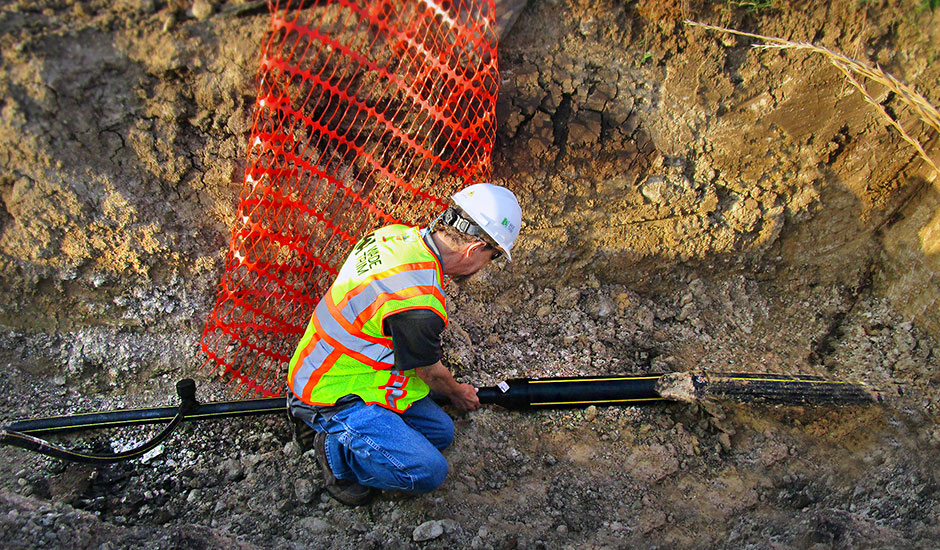
Texas-based natural gas local distribution company SiEnergy routinely requires construction inspection during the installation of new pipelines in its distribution system. While inspecting new pipelines in multiple residential neighborhoods in the Dallas-Fort Worth Metroplex, Wade Trim added valuable Geographic Information System-based (GIS) tracking and traceability tools to cost effectively record data on newly installed and legacy natural gas assets. The new data will enable more robust, safe, and efficient asset management of the utility’s pipe network.
Wade Trim set up and implemented a Trimble R2 GNSS receiver for quick, high accuracy global positioning system (GPS) data collection. Using the bar-coding function within ESRI’s Collector software, our inspector collected pipeline data that included material type, serial number, maximum allowable pressure, and pipe size. The new information was merged in real-time into SiEnergy’s GIS database using ESRI Enterprise software. Our team also assisted with internal quality assurance and quality control of the high accuracy data and geodatabase maintenance.