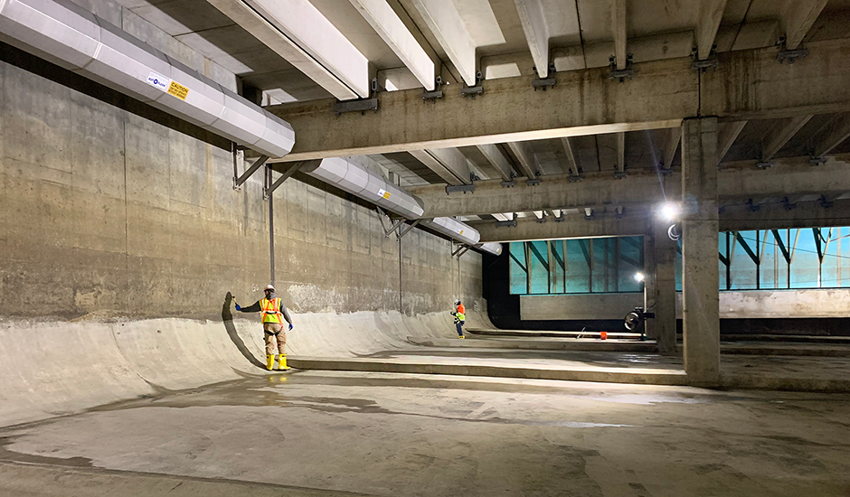
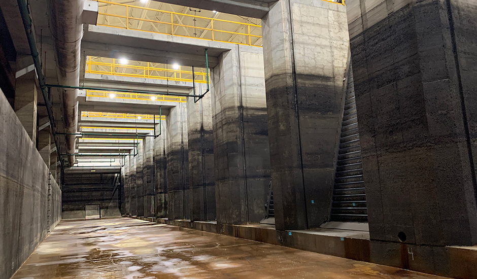
The Great Lakes Water Authority (GLWA) is undertaking a long-term maintenance program to improve structural elements at nine of its remote combined sewer overflow (CSO) facilities that protect waterways in Southeast Michigan. As engineer of record for the design-build team, Wade Trim is working under the direction of GLWA Project Manager Kashmira Patel, PE, PMP, to assess the condition of these facilities using traditional and reality capture inspection techniques that collect data with drones and mobile capture equipment. This equipment provides accurate 3D and photographic records of facility conditions. We are also identifying and designing all structural repairs required for a minimum useful service life of 20 years and developing a prioritization and capital planning budget and schedule for rehabilitation.
Located throughout Dearborn and Detroit, these CSO retention treatment basins (RTB) and screening and disinfection facilities capture, store, and treat excess stormwater and wastewater during wet weather events. The size of the basins varies based on storage capacities that range from less than half a million to 22 million gallons. Each basin must be isolated, cleaned, and dewatered before it can be inspected internally for any potential deterioration. Following inspection, we will work with GLWA to recommend and schedule repairs over the next 3 years, according to priority level based on available funding, and provide final drawings and specifications documenting improvements.
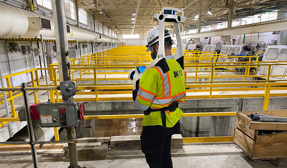
Our Reality Capture Services team has dramatically reduced the time needed to complete these structural inspections and delivered more robust as-built data, eliminating the need for follow-up visits. Normal condition assessment typically entails multiple weeks of reporting using paper drawings, cameras, and teams of inspectors. Using a combination of hardware and software data capture, we are typically able to capture survey grade data for a full basin in a single workday. Drones and mobile capture devices, such as the NavVis M6 and VLX, provide full-scale point cloud data, high-definition 360-degree panoramic photographs, and more for the inside and outside of each facility. All data is then placed into a “digital twin” environment that is available through cloud-based software platform “NavVis IVION Enterprise” from any connected device, allowing all project stakeholders to collaborate in an immersive and navigable virtual project environment.
Inspections have been completed on eight facilities and construction of improvements will begin this summer and continue through 2024.