
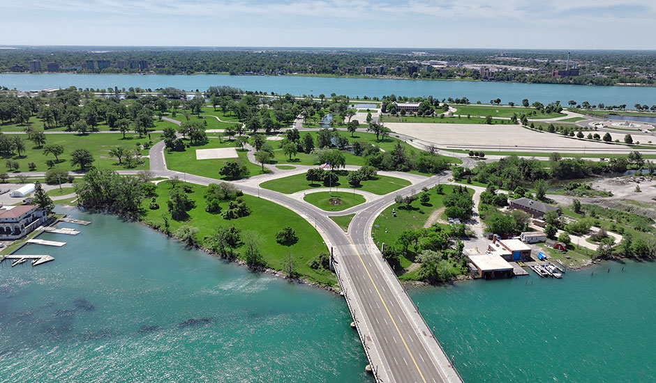
The historic Belle Isle Park, a 982-acre island in the Detroit River, has seen increased transportation network and parking demands due to a significant rise in visitors since becoming a state park in 2014. Congestion at the lone entry and exit point, MacArthur Bridge, combined with confusing road networks and multimodal facilities, hinder access and travel for over 5 million annual visitors. The Michigan Department of Natural Resources (MDNR), in partnership with the Michigan Department of Transportation (MDOT) and Belle Isle Conservancy, initiated the Belle Isle Multimodal Mobility Study to develop a 10-year transportation plan to improve safety and mobility throughout the park. Wade Trim shepherded the study and plan development, coordinating priorities with state agencies, local organizations, and the public.
The Belle Isle Multimodal Mobility Plan is the culmination of an extensive study to capture park activity data and robust stakeholder engagement. A total of 206 cameras placed at key intersections and locations collected 3,136 hours of video footage, including during the highly attended Belle Isle Kite Festival, to capture peak use. Conflict data was captured at popular park locations such as the beach area, James Scott Fountain, Sunset Point, and Kids Row. Reliable traffic and parking information was obtained via a low-flying aircraft with a high-resolution camera inserted in its belly. The aerial images were later stitched together to create orthomosaic image maps, ultimately producing aerial imagery of the entire island for 38 hours over a 5-day period.
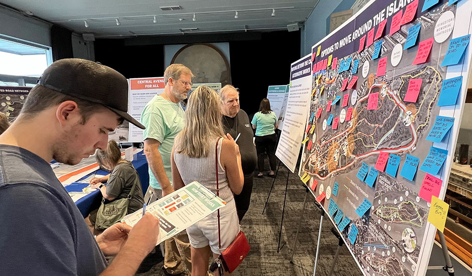
All study methods were used to count and analyze turning movements of vehicles, buses, pedestrians, and bicycles; model congestion patterns; estimate future visitor numbers; and identify areas needing improvement. In addition, traffic modeling of alternative improvements was conducted to gain insight into operations for various conditions including typical days and high-visitor days during the summer. Over 100 stakeholder groups were represented in dozens of stakeholder meetings, and visitors participated in community outreach initiatives such as an online survey and a public meeting sharing proposed mitigation strategies and the final plan.
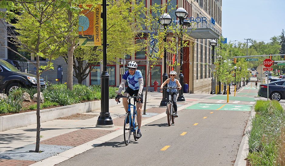
The resulting comprehensive, 10-year transportation plan features a phased mitigation strategy to implement immediate, medium-, and long-term improvements for all modes of transportation. Immediate actions include clarifying wayfinding, addressing nonmotorized network gaps, and reconfiguring critical intersections to reduce congestion and improve safety. Solutions focus on optimizing parking, including redistributing spaces to high-demand areas and repurposing underutilized facilities. Other strategies aim to reduce dependence on vehicles by improving multimodal options, such as dedicated bike lanes and enhanced pedestrian pathways, along with exploring shuttle and ferry services to reduce bridge congestion. The visionary plan aims to keep this iconic park accessible and enjoyable for future generations.
Awards
Women’s Transportation Seminar Michigan, Innovative Transportation Solutions Award, 2026
ASLA Michigan Planning & Analysis Merit Award, 2025