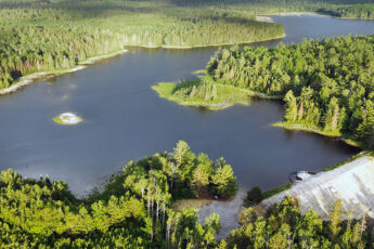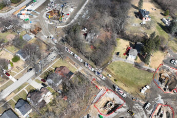
Physical restrictions that limit a river’s ability to convey water can contribute to flooding during storms when flows are high. In Southeast Michigan, communities along the Ecorse Creek have a history of flooding during heavy rainfalls. As one of the communities working to address this issue, the City of Dearborn Heights completed an aerial survey of 5 miles of Ecorse Creek within City limits to pinpoint areas of restriction in the channel. Conducted by Wade Trim using a drone, the survey will also identify problem areas, such as downed trees, sediment, and other debris that are limiting water flow and volume within the creek. The data gathered will be used to create a more accurate assessment of existing conditions to better plan and implement future projects, such as log and debris removal and channel dredging, to address residential flooding.
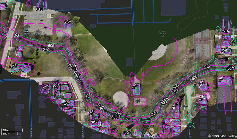
The aerial mapping project produced high-resolution imagery and topographic data used to create measurable surfaces of the creek. The survey captured areas 125 feet from the channel’s center line in each direction. Completed in one day, the drone approach required less effort than traditional methods, which typically would entail a team of professionals walking the entire length of the creek with equipment in tow. In addition, the survey was completed in early spring when vegetation doesn’t limit aerial visibility.
The final working survey and accompanying report detailing problem areas and recommendations will be delivered to City staff via a web-based software platform. A scaled digital twin of the water body uses photogrammetric reconstruction that can be viewed as an orthomosaic—a geometrically accurate, stitched-together image from multiple photos—a mesh topographic map showing creek bank contours, or a point cloud consisting of each datapoint recorded.