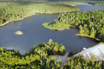
The Northeast Ohio Regional Sewer District (NEORSD) is undertaking a major infrastructure planning effort in the Chagrin River – Lake Erie Direct Tributaries (CHALET) watersheds to reduce structural, flooding, and operational risks to regional stormwater system assets. Several watersheds are impacted by combined sewers and long sections of culverted streams. Wade Trim is leading a team of consultants in data collection and management, hydrologic and hydraulic model development and application, and alternatives development and evaluation, that will culminate in a Stormwater Master Plan (SWMP) report for the Regional Stormwater System (RSS).
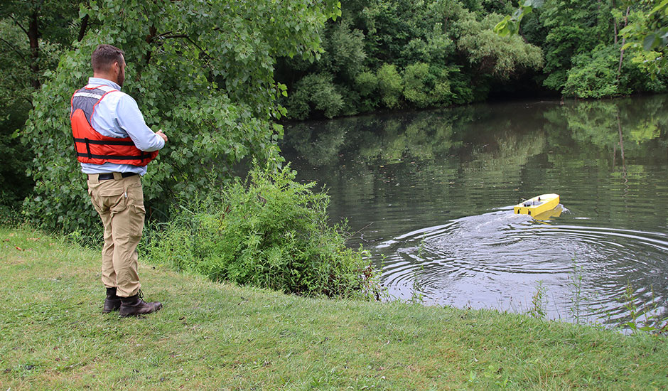
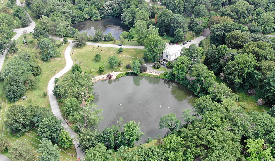
Field data collection throughout the approximately 91-square-mile CHALET study area is underway. To address the challenge of capturing comprehensive imagery of open channel systems needed to support the analysis for this major SWMP, spherical imagery data is being collected for all open channel systems in the watersheds. The project team is working to deliver Modular Immersive Mapping System (MIMS) imagery that will be used to create a “Google Street-View” type visualization of RSS assets. Bathymetric data, media, and topography for surface models of the assets, such as basins, are also being collected using unmanned aerial and marine drones.
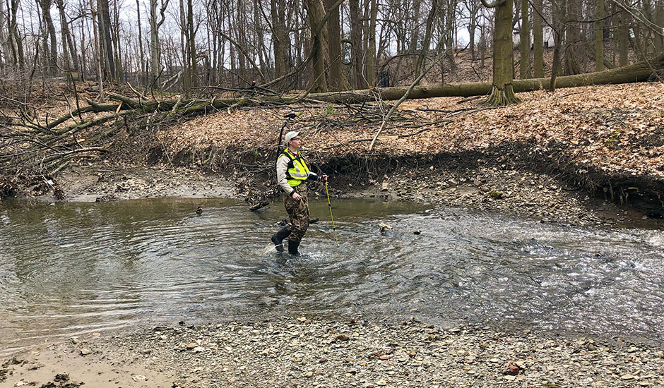
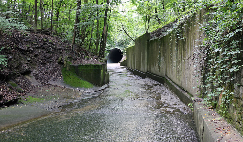
The field inspection data is supporting a wide-ranging condition assessment of RSS assets. This includes inspection and condition assessment of 31 stormwater detention basins, closed-circuit television (CCTV) inspections of more than 30 miles of culverted streams, geomorphic assessment of more than 63 miles of open channel systems, and streamflow and high-water mark device monitoring. Inspections were completed using tablets that interface with an ArcGIS online (AGOL) database, which allowed for quick and easy data review by Wade Trim project team members and NEORSD staff.
Hydrologic and hydraulic models are under development with the data obtained for the entire CHALET study area, which includes combined and separated sewer systems in highly urban areas. Once stormwater problem areas are defined, alternative improvement projects that address problems will be developed and evaluated. Recommended alternatives will be documented using the modeling and inspection work and prioritized within the CHALET SWMP report to provide a capital improvement program for District implementation. Stormwater master planning, which also includes model data management activities, is expected to be completed in 2021.